Smart, Secure and Transparent Land Services
From certificate verification to digital land services, KATGIS provides a reliable platform for public and institutional use.
New Land Registration System Launched
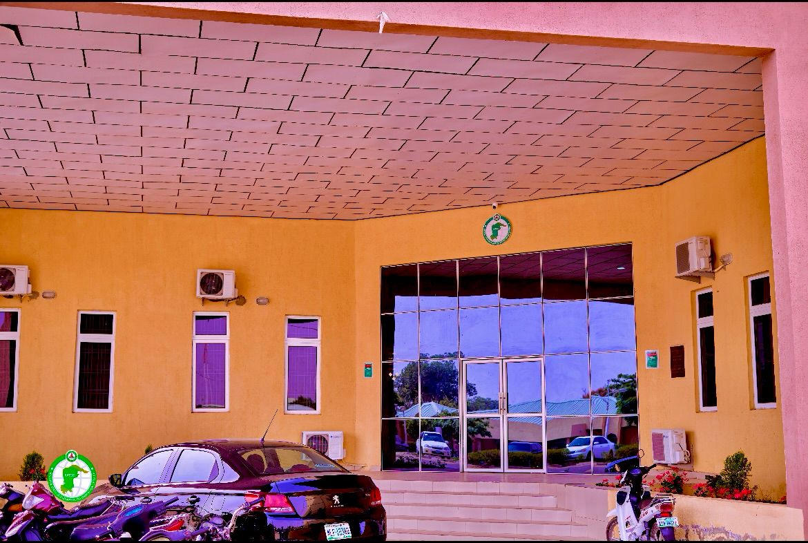
Welcome to KATGIS
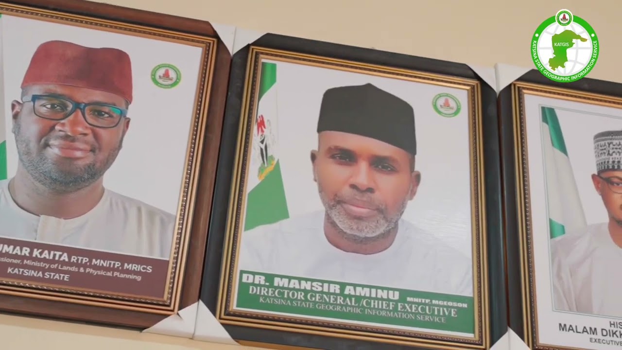
The Katsina State Geographic Information Service (KATGIS) is at the forefront of modern land administration and geospatial technology in Nigeria. Our mission is to provide accurate, accessible, and up-to-date geographic information to support sustainable development and informed decision-making across the state.
KATGIS is committed to efficiency. Through our streamlined digital processes, clients can now obtain a new secured Certificate of Occupancy (CofO)
Our Core Services include:
- Recertification
- Regularisation
- Legal Search
Land Transactions
- Merger
- Subdivision
- Gift
- Sublease
- Mortgage
- Devolution
- Assignment

News & Announcements
Stay updated with the latest news, announcements, and service updates from Katsina GIS.
Katsina GIS has officially launched an enhanced recertification programme to streamline land record validation.
A comprehensive land regularisation initiative is now available to help landowners bring informal arrangements into compliance.
Our online application portal has been upgraded with improved user interface and faster processing capabilities.
Frequently Asked Questions
Need something quickly?
Use quick access tools for common requests.