Land Search Verification
Verify land ownership and details quickly and easily.
New Land Registration System Launched
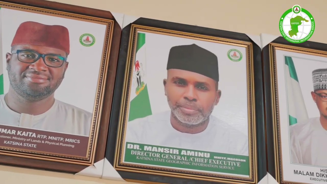
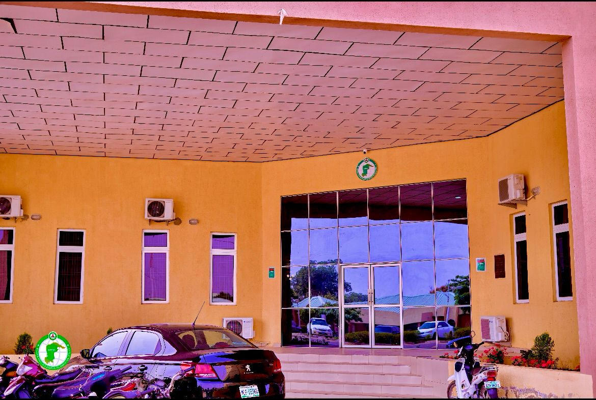
About KATGIS
Katsina State Geographic Information Service (KATGIS) is at the forefront of geospatial technology and land administration in Nigeria. Our mission is to provide accurate, up-to-date, and accessible geographic information to support sustainable development and informed decision-making in Katsina State.
- State-of-the-art GIS technology
- Comprehensive land information system
- Efficient land administration processes
- Dedicated team of GIS professionals
Our Services
Geospatial Mapping
Precision and Accuracy in Every Map
Land Administration
Streamlining Land Management Processes
Data Analysis
Transforming Data into Actionable Insight
Featured Project

Ongoing
Katsina State Land Information System
A comprehensive digital platform for efficient land administration and management in Katsina State.
- Centralized land records database
- Online application processing
- GIS integration for spatial data management
Frequently Asked Questions
Need Assistance?
Our team of GIS experts and land administration professionals are here to help. Whether you have questions about our services or need guidance with a specific process, we're just a click away.